During major storm events such as hurricanes, emergency managers rely on fast and accurate forecasting models to make important decisions concerning public safety. These models can be computationally costly and cannot quickly make predictions at the highest geospatial resolution. However, model output can be post-processed to mimic high-resolution results with minimal additional computational cost. This research proposes methods for improvement in the accuracy of downscaling (enhancing the resolution of) a real-time storm surge forecasting model. Such improvements to downscaling methods include 1) expansion in its spatial applicability, 2) adding physics using water surface slopes, and 3) adding physics using friction losses across the ground surface.
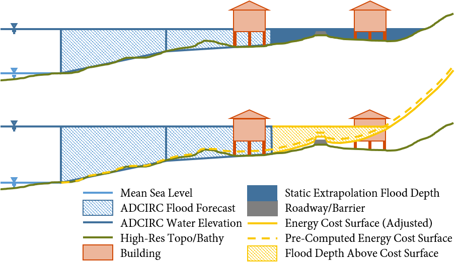
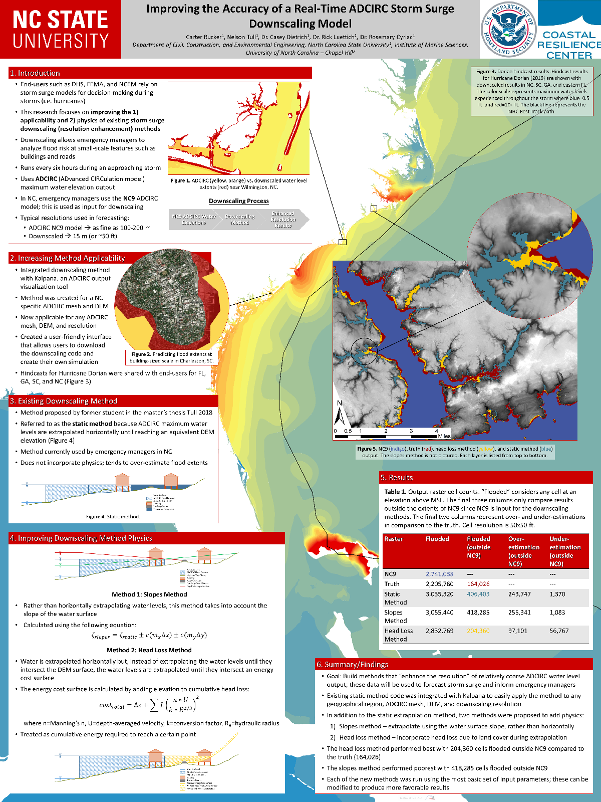
This research builds upon a process that uses maximum water elevation output from the Advanced Circulation (ADCIRC) model and downscales these results to a finer resolution by extrapolating the water levels to small-scale topography. This downscaling process is referred to as the static method. The method was originally designed for use in North Carolina (NC), where results from an ADCIRC model designed specifically for NC were downscaled to a set of NC topographical data. By joining the static method with an ADCIRC output visualization tool, the downscaling process is now able to run faster with the same level of accuracy and can run on any ADCIRC model with downscaling data from any geographical region or given resolution. This process is used to provide extra guidance to emergency managers and decision makers during hurricanes.
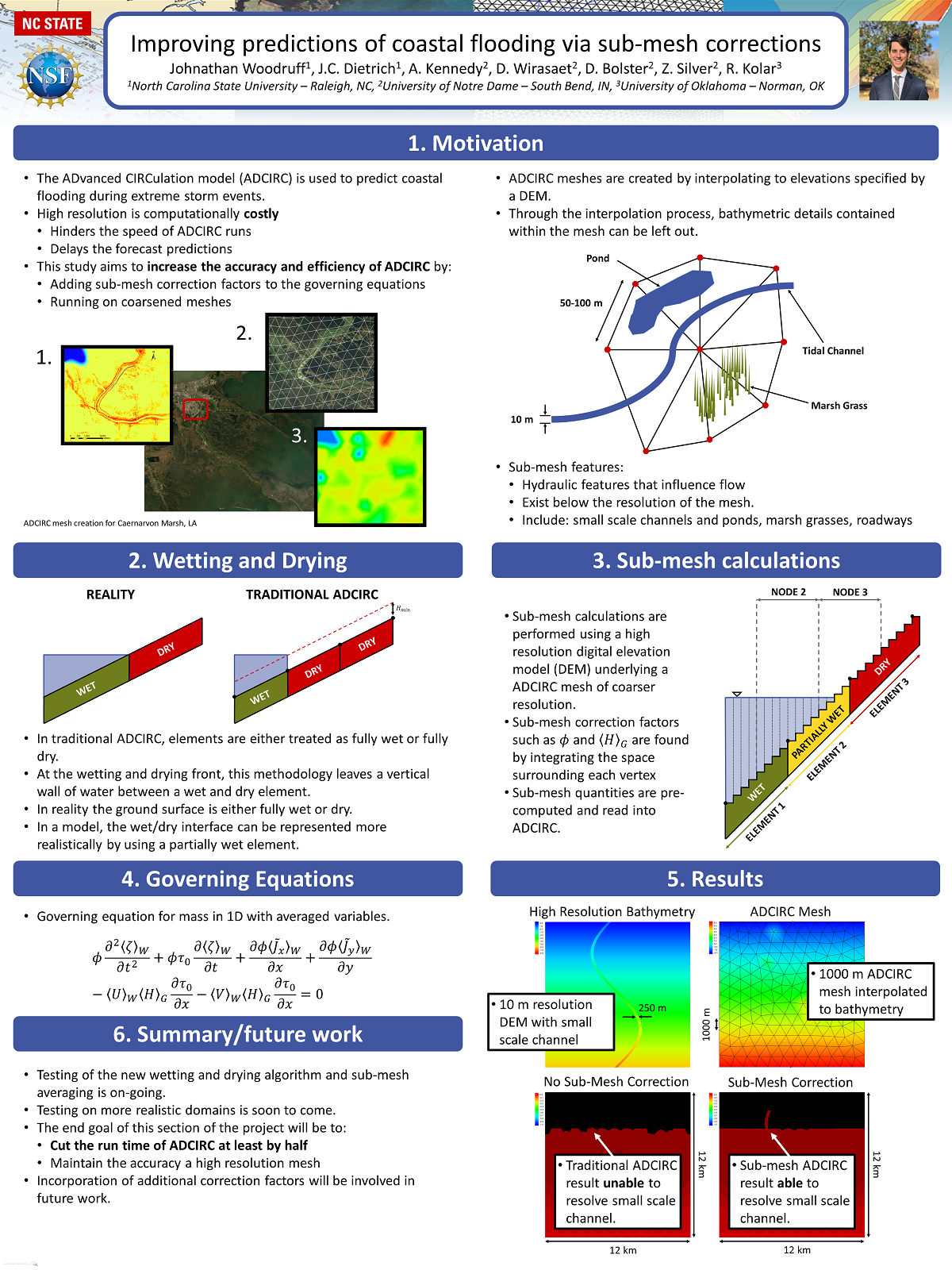
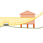
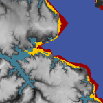 The downscaling process is also improved by adding physics using the slopes method and the head loss method. The slopes method incorporates the slopes of the water levels produced by ADCIRC, rather than only the value of the water level. By interpolating ADCIRC output water elevation points into a smooth surface, slopes of this surface can be used to influence the elevations of downscaled water levels. The head loss method adds friction loss due to variations in the ground surface based on land cover types and friction associated with each type. As water travels over any surface, head loss, or a loss in energy, occurs at different rates depending on the surface roughness. This rudimentary hydrologic principle is applied to increase the accuracy of the downscaling process at minimal cost. The downscaling methods are applied for results from an ADCIRC simulation used in real-time forecasting, and then compared with results from an ADCIRC simulation with 10 times more resolution in Carteret County, NC. The static method tends to over-estimate the flood extents, and the slopes method is similar. However, the head loss method generates a downscaled flooding extent that is a close match to the predictions from the higher-resolution, full-physics model.
By improving the accuracy of downscaling methods at minimal computational cost and expanding the applicability of these downscaling methods, these methods can be used by emergency managers to provide a better estimation of flooding extents while simulating storm events.
CA Rucker (2020). “Improving the Accuracy of a Real-Time ADCIRC Storm Surge Downscaling Model,” North Carolina State University.


 During coastal storms, forecasters and researchers use numerical models to predict the magnitude and extent of coastal flooding. These models must represent the large regions that may be affected by a storm, and thus, they can be computationally costly and may not use the highest geospatial resolution. However, predicted flood extents can be downscaled (by increasing resolution) as a post-processing step. Existing downscaling methods use either a static extrapolation of the flooding as a flat surface, or rely on subsequent simulations with nested, full-physics models at higher resolution. This research explores a middle way, in which the downscaling includes simplified physics to improve accuracy. Using results from a state-of-the-art model, we downscale its flood predictions with three methods: (1) static, in which the water surface elevations are extrapolated horizontally until they intersect the ground surface; (2) slopes, in which the gradient of the water surface is used; and (3) head loss, which accounts for energy losses due to land cover characteristics. The downscaling methods are then evaluated for forecasts and hindcasts of Hurricane Florence (2018), which caused widespread flooding in North Carolina. The static and slopes methods tend to over-estimate the flood extents. However, the head loss method generates a downscaled flooding extent that is a close match to the predictions from a higher-resolution, full-physics model. These results are encouraging for the use of these downscaling methods to support decision-making during coastal storms.