Coastal property values are sensitive to many factors, including environmental stressors related to changing regional climate and changing sea levels. Predictions of property value changes are essential for coastal planning and development, and form a central part of understanding our state’s exposure to long‐term coastal hazards, particularly the co‐occurrence of tropical cyclones and rising sea levels. Essentially, can we predict long‐term changes in coastal property values and quantify associated uncertainty? What are the impacts of various levels of sea level increase on present and future coastal property values?
This use case will develop a predictor of coastal property values in RADE, and then use that predictor to examine changes under future scenarios of climate and sea level changes. Given other geospatial data to describe a coastal property, the predictor will estimate the assessed price per square foot. Once a reliable predictor model is established, we will perturb it with scenarios of storm winds and flooding from detailed storm surge and wave simulations from the ADCIRC model (Westerink et al, 2008). RENCI has a very large database of ADCIRC simulations from recent FEMA‐funded coastal risk assessments, including the Coastal Flood Insurance Study (Blanton and Luettich, 2010) and a comprehensive Sea Level Rise Impacts Assessment (NCDEM, 2009). We will insert the relevant outputs of these NC coastal model results into the data grid for use by this use case and any other interested researchers. The output includes inundation extents from a sequence of sea level rise increments up to 1 meter, various derived quantities for wind wave impacts, and coastal flooding.
WC Lenhardt, et al. “RADE: A Risk Analytics Discovery Environment.” UNC Research Opportunities Initiative, North Carolina Data Science and Analytics Initiative, 2015/07/01 to 2017/06/30, (Dietrich: $27,270).


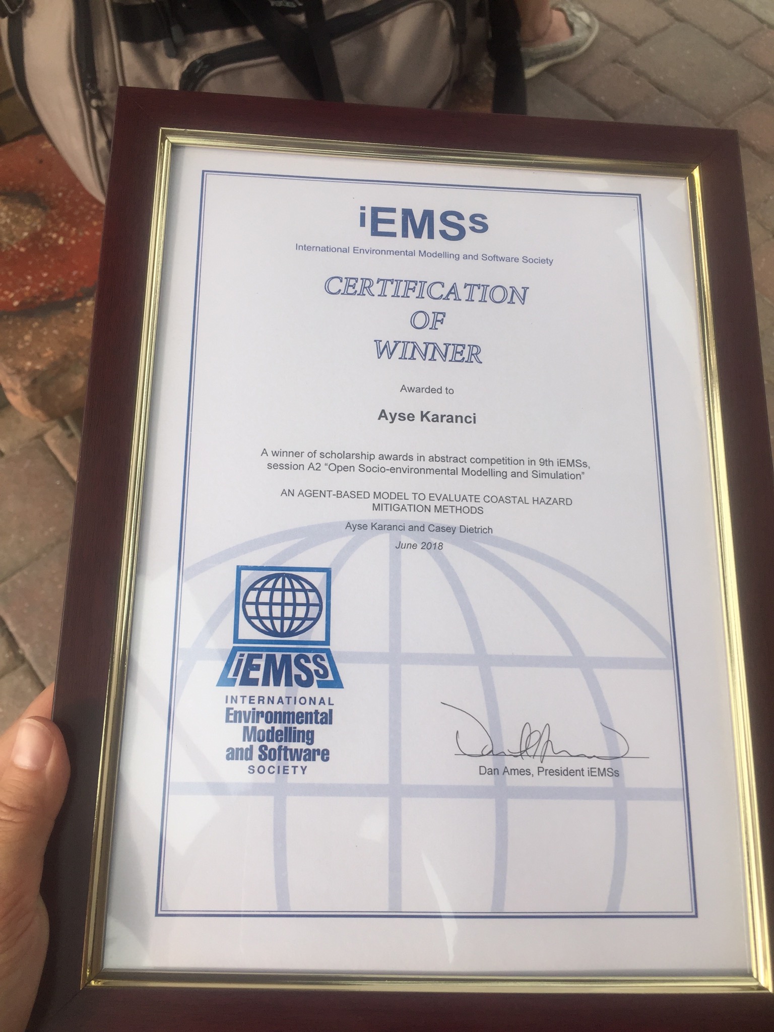 Ayse Karanci was a winner in the abstract competition at the 9th International Congress on Environmental Modelling and Software. The award included funding to support her travel to the conference in Fort Collins, Colorado, where she presented on “Cyberinfrastructure for Enhancing Interdisciplinary Engagement in Coastal Risk Management Research.”
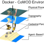 Tackling critical questions often requires the collaboration of researchers from different disciplines or institutions. Coastal hazards research is necessarily interdisciplinary and multi- methodological and often requires a team of researchers, due to its combination of storm-induced changes to the coastal environment, the effects of these changes on built infrastructure, and the combined effects on decision-making for individuals and communities. This paper introduces an interdisciplinary coastal hazard risk model that combines high resolution geospatial data, storm impact forecasts, and an agent-based model in the analysis, and then describes the model’s implementation in a data science cyberinfrastructure. Lessons learned and limitations are also outlined.