Surface Trajectories of Oil Transport along the Northern Coastline of the Gulf of Mexico

CSR2012
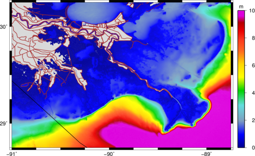
After the destruction of the Deepwater Horizon drilling platform during the spring of 2010, the northern Gulf of Mexico was threatened by an oil spill from the Macondo well. Emergency responders were concerned about oil transport in the nearshore, where it threatened immediately the fishing waters and coastline from Louisiana to Florida. In this region, oil movement was influenced by a continental shelf with varying width, the protruding Mississippi River delta, the marshes and bayou of southern Louisiana, and the shallow sounds and barrier islands that protect the coastline. Transport forecasts require physics-based computational models and high-resolution meshes that represent the circulation in deep water, on the continental shelf, and within the complex nearshore environment.

This work applies the coupled SWAN+ADCIRC model on a high-resolution computational mesh to simulate the current velocity field on the continental shelf, nearshore and marsh areas during the time that oil was visible on the surface of the Gulf. The SWAN+ADCIRC simulations account for the influence of tides, riverine discharge, winds and wind-driven waves. A highly-efficient Lagrangian particle transport model is employed to simulate the surface trajectories of the oil. The transport model accounts for dispersion and advection by wind and currents. Transport is evaluated using two week-long sequences of satellite images. During both periods, the SWAN+ADCIRC current fields alone appeared to be more successful moving the oil than when direct wind forcing was included. In addition, hypothetical oil transport is considered during two hurricane scenarios. Had a hurricane significantly impacted the areas, depending on its track, oil would have moved farther into the marshes of southern Louisiana or farther along the shelf toward Texas than actually occurred during the spill.

JC Dietrich, CJ Trahan, MT Howard, JG Fleming, RJ Weaver, S Tanaka, L Yu, RA Luettich Jr, CN Dawson, JJ Westerink, G Wells, A Lu, K Vega, A Kubach, KM Dresback, RL Kolar, C Kaiser, RR Twilley (2012). “Surface Trajectories of Oil Transport along the Northern Coastline of the Gulf of Mexico.Continental Shelf Research, 41(1), 17-47, DOI:10.1016/j.csr.2012.03.015.

Controlling Errors with Limiters on Spectral Propagation Velocities

Updated 2016/07/31: This post is now outdated. SWAN has been updated to improve its treatment of the spectral propagation velocities, so these limiters are not needed. Please see this post.

Updated 2012/12/26: Added link to published manuscript.

Updated 2012/11/19: Changes to reflect our accepted submission to Ocean Modelling.

As we have gained experience with the coupling of SWAN and ADCIRC, we have noticed that SWAN can focus wave energy due to excessive refraction in regions with coarse mesh resolution. Wave energy can become focused unrealistically at a single mesh vertex, causing the wave properties to become non-physical. In deep water, the significant wave heights can become 150m or larger. In shallow water, the peak wave periods can become 30s or larger, as the energy is pushed into the lowest-discretized frequency bin.

We have developed a few work-around solutions to this problem (Part 1 and Part 2). These solutions have enabled the wave refraction process in the region of interest, and disabled it elsewhere in the computational domain. For example, by enabling selectively the refraction in the northern Gulf of Mexico, we can obtain the following hindcast of the significant wave heights during Hurricane Gustav (2008).

Maximum significant wave heights (m) during Gustav (2008).

Maximum significant wave heights (m) during Gustav (2008).

However, a more robust solution would be the limiting of the spectral propagation velocities, especially the directional turning rate, based on the Courant-Friedrichs-Lewy (CFL) condition. We have implemented recently these limiters in SWAN+ADCIRC. On this page, the limiters are introduced and tested on idealized and realistic applications.

It should be noted that these limiters are not a replacement for increased mesh resolution. The SWAN solution will always be better when the mesh is improved to represent the bathymetric gradients in the region of interest. However, when it is not feasible to increase the mesh resolution, then these limiters can control the largest SWAN errors without affecting the solution elsewhere.

Continue reading

Troubleshooting for SWAN+ADCIRC

Updated 2016/08/02: Added the issue 5.

As we gain more experience with SWAN+ADCIRC, we have noticed a few minor issues with respect to actually running the coupled model. I have listed a few of them here, and I have described how to fix (or at least work around) each problem. Hopefully this page will be useful to new users of SWAN+ADCIRC.

This page will be updated as we encounter new issues. If you encounter an issue that belongs on this page, then please let me know. We want all simulations to step right along:

Time-Stepping

1. The pre-processor adcprep was not compiled for use with the coupled SWAN+ADCIRC.

This is a tricky error to debug when you first encounter it, because the code will write the following error message:

Input file missing

into either the screen output or the Errfile within each sub-directory. However, it is likely that all of the input files will be present in the run directory, including the SWAN input files (fort.26 and swaninit).

Continue reading