

Category Archives: Models
News: Department Social Media
2023/06/01 — NCSU Civil, Construction, and Environmental Engineering
YouTube
YouTube
 Jack Voight was featured on social media in a video about his summer research in our REU program. He is running simulations of storm surge and coastal flooding as part of a project about total water levels at coastal infrastructure. Glad he is part of our team!
Jessica Gorski defends MS Thesis
We celebrate another successful defense! Jess defended her MS thesis to a mix of in-person and remote attendees, who had a lot of interest in her research on real-time forecasts of coastal erosion. Congrats to Jess!
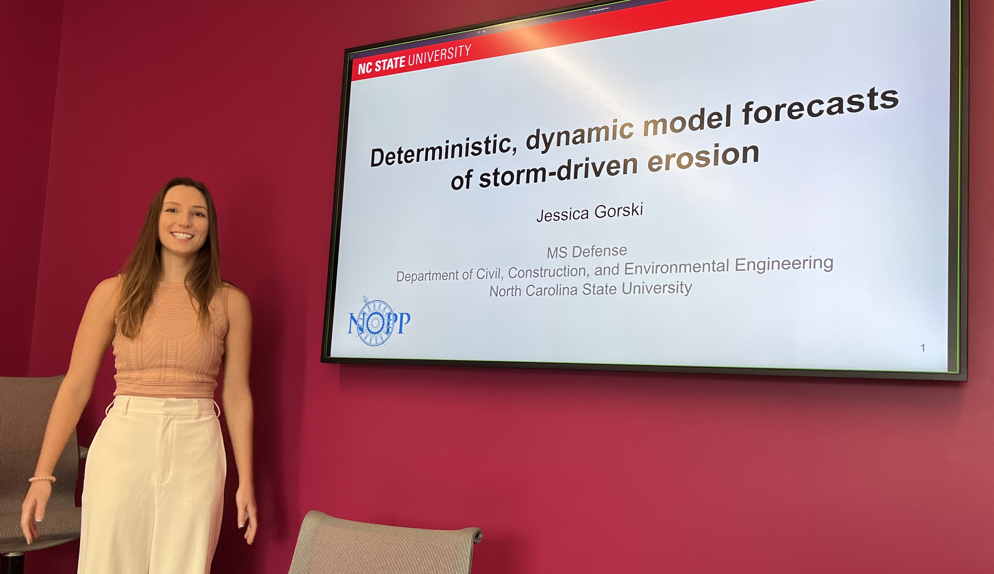
Jessica starts her thesis defense.
Thesis Defense: Jessica Gorski
Johnathan Woodruff defends PhD Dissertation
We celebrate another successful defense! Johnathan defended his PhD dissertation to a mix of in-person and remote attendees, who had a lot of interest in his research on subgrid corrections for storm surge modeling. Congrats to Johnathan!
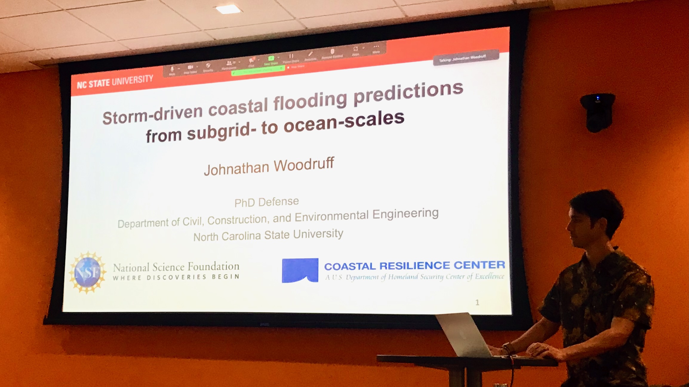
Johnathan starts his dissertation defense.
Dissertation Defense: Johnathan Woodruff
Storm Surge Predictions from Ocean to Subgrid Scales
 The inland propagation of storm surge caused by tropical cyclones depends on large and small waterways to connect the open ocean to inland bays, estuaries, and floodplains. Numerical models for storm surge require these waterways and their surrounding topography to be resolved sufficiently, which can require millions of computational cells for flooding simulations on a large (ocean scale) computational domain, leading to higher demands for computational resources and longer wall-clock times for simulations. Alternatively, the governing shallow water equations can be modified to introduce subgrid corrections that allow coarser and cheaper simulations with comparable accuracy. In this study, subgrid corrections are extended for the first time to simulations at the ocean scale. Higher-level corrections are included for bottom friction and advection, and look-up tables are optimized for large model domains. Via simulations of tides, storm surge, and coastal flooding due to Hurricane Matthew in 2016, the improvements in water level prediction accuracy due to subgrid corrections are evaluated at 218 observation locations throughout 1500 km of coast along the South Atlantic Bight. The accuracy of the subgrid model with relatively coarse spatial resolution (ERMS = 0.41 m) is better than that of a conventional model with relatively fine spatial resolution (ERMS = 0.67 m). By running on the coarsened subgrid model, we improved the accuracy over efficiency curve for the model, and as a result, the computational expense of the simulation was decreased by a factor of 13.