Improving Predictions of Estuarine Flooding and Circulation during Storms

This project will address the problem of storm-driven circulation and flooding in estuaries. Our motivation is the recent Hurricane Florence (2018), which pushed surge and mixed saline waters into the estuaries of North Carolina (NC). There are remaining questions about how storm surge can interact with winds, riverine flows, and friction in estuarine systems, as well as how stratification is removed during and then re-established after storms.

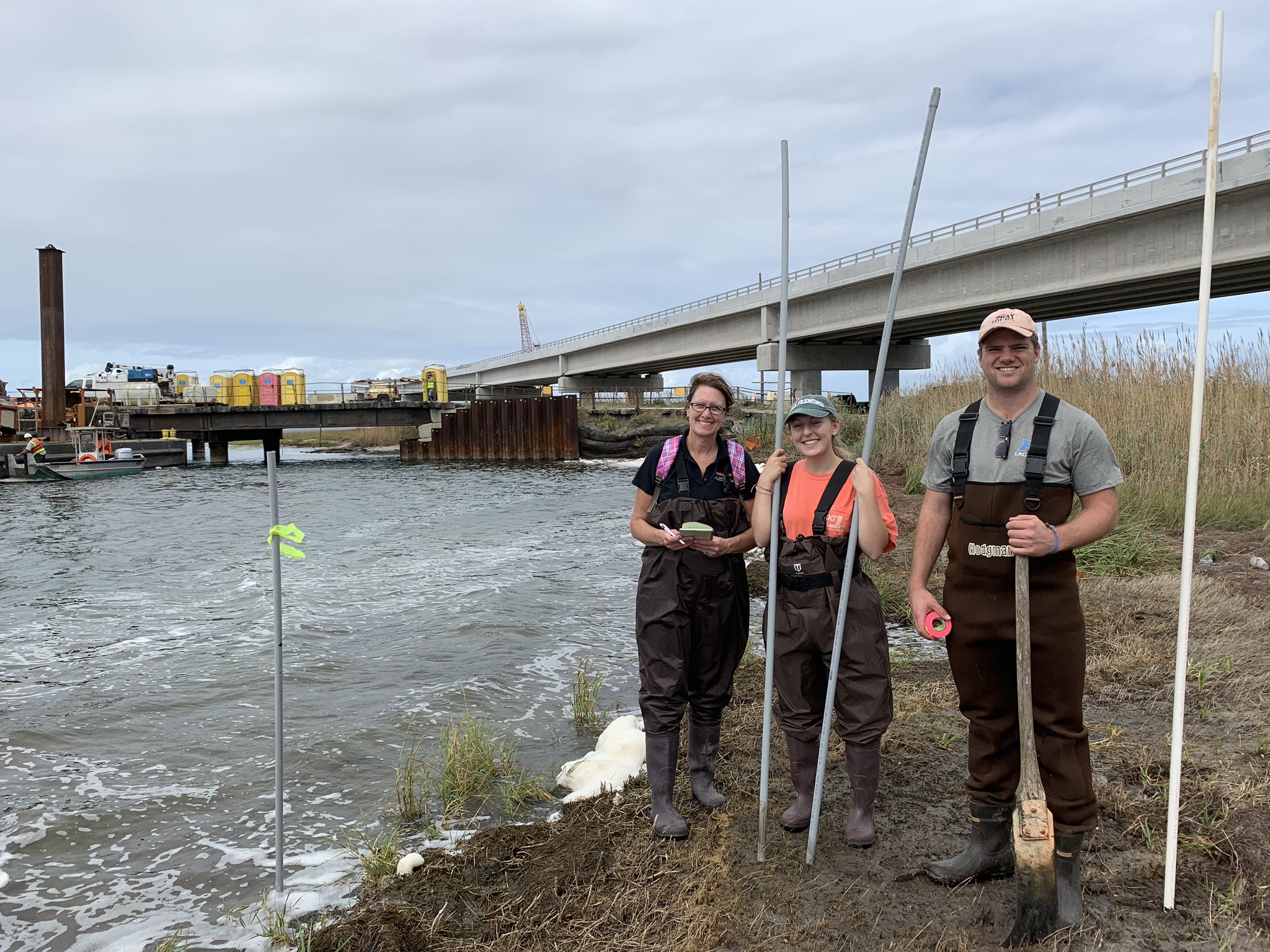
The research plan will have two components. First, the existing modeling system will be enhanced for the NC estuaries, and numerical experiments will explore the sensitivities of estuarine flooding to the main drivers during storms. By varying systematically the atmospheric forcing, bottom friction, incoming river flows, and other parameters, we will improve our understanding of how storm surge is developed in these regions. Second, the modeling system will be extended to consider density-driven circulation and salinity transport, by leveraging earlier work for estuarine circulation in the northern Gulf. It is known that horizontal salinity transport during storms can threaten marine life and vegetation, but there is not currently a modeling system that can predict both transport and overland flooding. This project will combine those processes and explore questions about stratification during storms. While these interactions are important in estuaries along the U.S. Gulf and Atlantic coasts, they are especially important for the NC estuaries and their nearby communities, which have been devastated by storms in recent years.

The project will also have an extensive education component. Via collaboration with the Coastal Studies Institute, we will develop and implement lesson plans for storm surge and coastal flooding. It is expected that this new program will engage with more than 300 students in northeastern NC. The research team is well-positioned to contribute to these outreach activities, thus benefiting coastal communities in NC.

JC Dietrich, RJ McCord. “Improving Predictions of Estuarine Flooding and Circulation during Storms.” National Oceanic and Atmospheric Administration, North Carolina Sea Grant, 2020/02/01 to 2022/01/31, $119,370 (Dietrich: $99,610).

News: CCHT Leads a Core Research Project for NC Sea Grant

2020/01/17 – NC Sea Grant News
NC Sea Grant Announces 2020–2022 Core Research Projects

ncsg

North Carolina Sea Grant’s core research projects for 2020 to 2022 will apply innovative approaches to coastal issues. Research teams across the state are starting new studies on coastal resilience, climate change, flooding, shellfish and aquaculture, environmental literacy and more.

“Our core research examines real-world needs of our coastal communities and ecosystems,” says Susan White, executive director of North Carolina Sea Grant. “We are pleased to have so many multidisciplinary collaborations that address our program’s strategic focus areas.”

Subgrid Theory for Storm Surge Modelling

Averaging techniques are used to generate upscaled forms of the shallow water equations for storm surge including subgrid corrections. These systems are structurally similar to the standard shallow water equations but have additional terms related to integral properties of the fine-scale bathymetry, topography, and flow. As the system only operates with coarse-scale variables (such as averaged fluid velocity) relating to flow, these fine-scale integrals require closures to relate them to the coarsened variables. Closures with different levels of complexity are identified and tested for accuracy against high resolution solutions of the standard shallow water equations. Results show that, for coarse grids in complex geometries, inclusion of subgrid closure terms greatly improves model accuracy when compared to standard solutions, and will thereby enable new classes of storm surge models.

AB Kennedy, D Wirasaet, A Begmohammadi, T Sherman, D Bolster, JC Dietrich (2019). “Subgrid Theory for Storm Surge Modelling.” Ocean Modelling, 144, 101491, DOI: 10.1016/ocemod.2019.101491.

Seminar: UNC Wilmington

Sustainability of Barrier Island Protection Policies under Changing Climates

This project will address methods to adapt beach and dune nourishment to improve resilience in a changing climate. As storms become more powerful and seas continue to rise, major erosion events will occur more frequently. However, coastal communities do not yet understand how to evaluate their increasing vulnerabilities and adapt their long-term planning. In this project, we will identify the climate patterns that most often trigger the need to nourish, the variability of the time interval between such nourishments, and the economic costs and sediment volumes necessary to maintain this coastal protection policy into the 21st century.

A stochastic climate emulator will first be developed to simulate 1000s of realizations of chronological climate patterns (forced by satellite and GCM products) to create future storm events coupled with sea level rise scenarios. A library of high fidelity, open source, hydrodynamic and morphodynamic simulations (ADCIRC+SWAN and XBeach) will then be used to develop a surrogate model to predict erosion and flooding for each future realization. Triggers like beach width, dune height, and community preferences will be used to identify how often communities will need to re-nourish, contingent on future climate and sea level rise scenario.

JC Dietrich, DL Anderson. “Sustainability of Barrier Island Protection Policies under Changing Climates.” U.S. Coastal Research Program, 2019 Academic Research Opportunities, 2019/10/18 to 2021/10/17, $226,624 (Dietrich: $226,624).

Carter Rucker helps with Pilot Study for DUNEX

CCHT member Carter Rucker joined a field pilot study with other members of the NCSU Coastal Engineering Team. The collaborative During Nearshore Event Experiment (DUNEX) pilot study is now underway along the Outer Banks of North Carolina, home to the U.S. Army Engineer Research and Development Center’s Coastal and Hydraulics Laboratory’s Field Research Facility.

DUNEX is a multi-agency, academic and non-governmental organization collaborative community experiment to study nearshore coastal processes during coastal storms. The multi-phase experiment plan begins with the pilot study, followed by the full experiment starting in fall 2020 and extending into winter 2021. Learn more here.

Carter Rucker (right) setting markers in the Pea Island marsh preparing for ADCP surveys later in the week. Photo courtesy Beth Sciaudone.

News: Connecting Erosion to Flooding

2019/09/26 – NC Sea Grant Coastwatch
XBeach Model Predicts Storm Impacts on Beaches and Dunes

Alireza Gharagozlou (below) is a doctoral student in the Department of Civil, Construction, and Environmental Engineering at NC State University. He studies how to connect predictions of beach and dune erosion to community-wide flooding and serves with Casey Dietrich on NC State’s Coastal & Computational Hydraulics Team. North Carolina Sea Grant has supported their work.

Alireza surveying the beach profile near Hatteras, NC, with RTK-GPS after Hurricane Florence.

2019/04/26 – NC Sea Grant Coastwatch Currents
Model Predicts Storm Impacts on Beaches and Dunes

ncsg

During storms, strong waves and currents can erode beaches and dunes and create low-lying areas vulnerable to flooding. We use field surveys and a computer model called XBeach to predict this erosion, as well as to understand its interactions with storm-driven flooding of larger regions.

Computer models allow us to see how the storm surge and waves impact the beach over time, and which locations are vulnerable to large-scale damage. Good predictions of such storm impacts help emergency managers take better-informed measures to protect coastal areas. Understanding vulnerabilities also instructs highway access design and residential area planning.

We used the XBeach computer model on more than 30 kilometers of Hatteras Island between Avon and Rodanthe to explore how to connect erosion predictions to larger areas. Could XBeach cover more of the island, yet still provide good erosion predictions at beach and dune scales? And how could we connect erosion predictions to other models for storm surge and flooding?