

Tag Archives: Dylan Anderson
Adaptation Pathways for Climate Change Resilience on Barrier Islands
 Coastal communities throughout the world will be faced with policy decisions that affect their resilience to climate change, sea level rise, and associated impacts. Adaptation pathways, a holistic approach to policy development, may be an ideal framework for municipalities to consider in low-lying, dynamic environments such as barrier islands. Adaptation pathways identify hypothetical future timelines whereby communities adopt a different policy in response to new environmental conditions. This takes into account changing conditions and resulting hazards that exceed a threshold agreed upon by the community. In this paper, we focus on barrier island communities and give an overview of adaptation pathway methodologies, highlight several common policies considered to increase resilience, review how coastal scientists have thus far contributed to such methods, and discuss specific research agendas that could aid in future implementations. Although the use of adaptation pathways is still in its early stages in many coastal communities, the success of the process is dependent on contributions from both quantitative hazard research and consistent engagement with stakeholders in an iterative co-development of prioritized policy trajectories. Scientific needs include: better understanding of future hazards due to climate change and sea level rise, better predictions of time-dependent processes such as barrier island response to human alterations to natural coastal defense systems, and improved communication between physical scientists, social scientists, managers, and stakeholders.
Formation of a Barrier Island Breach and Its Contributions to Lagoonal Circulation
 Barrier islands are a primary coastal defense and often experience erosion during storms. When they fail due to storm-induced breaching, there can be significant changes to the small- and large-scale hydrodynamics and morphodynamics of the region. In this study, we explore the formation of a breach on Hatteras Island, North Carolina, during Isabel (2003) and the subsequent flooding into Pamlico Sound. Two-way coupling of high-fidelity, high-resolution numerical models for coastal erosion and flooding enables a better understanding of the formation of the breach, as well as scenarios of the breach’s effects on the circulation in the region. The breach connecting the ocean to the sound formed during the day of landfall. It is shown that, during the storm, overwash and inundation from the ocean led to deterioration of the beach and dunes, and then after the storm, the creation of channels through the island was sensitive to elevated water levels in the lagoon. Then flooding scenarios are considered in which the ground surface of the hydrodynamic model was (a) static, updated with the (b) pre- and post-storm observations, and updated dynamically with (c) erosion model predictions and (d) erosion model predictions with elevated lagoon-side water levels. The model results show that the breach has region-scale effects on flooding that extend 10 to 13 km into the lagoon, increasing the local water levels by as much as 1.5 m. These results have implications for similar island-lagoon systems threatened by storms.
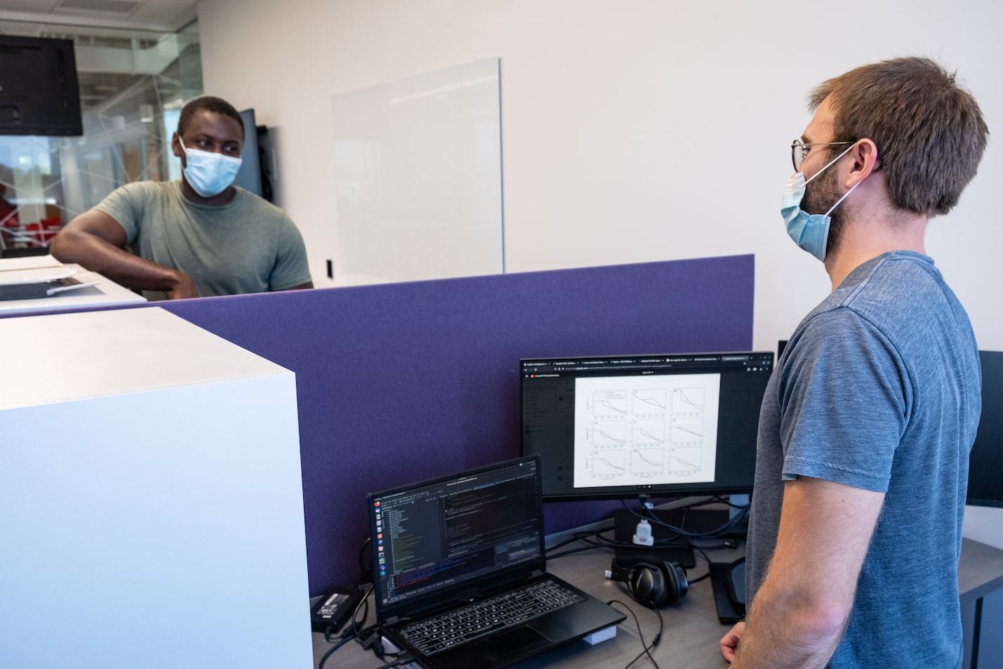
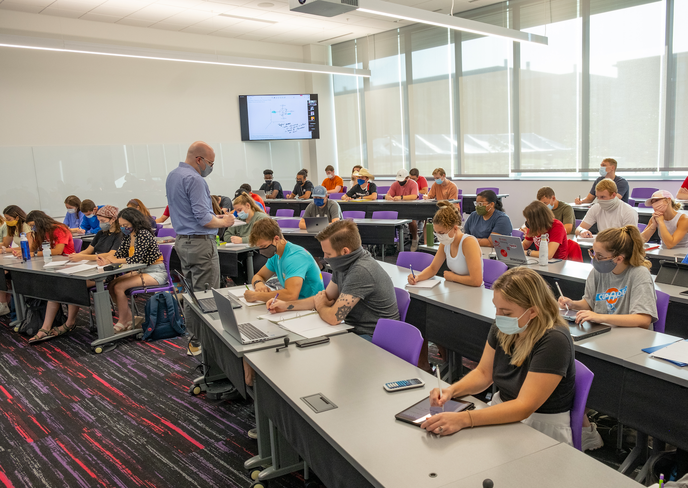
Fitts-Woolard Hall in Action
Our department’s communication specialist, Julie Dixon, visited Fitts-Woolard Hall to take photos of our new building in action. We were glad that a few photos included members of the CCHT in the Coastal Engineering Lab and teaching.
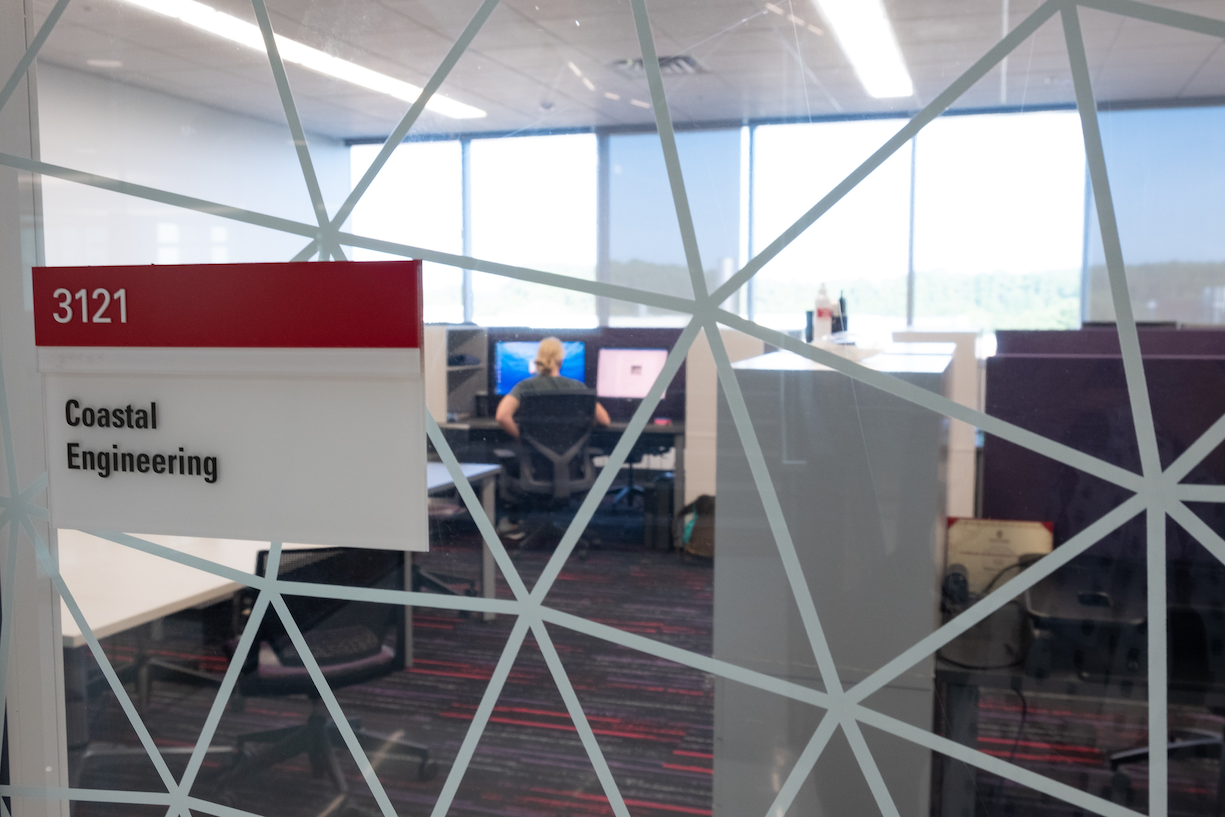
View into the Coastal Engineering Lab.
Jenero Knowles and Dylan Anderson discussing how to succeed in academic research.
Casey Dietrich teaching about the hydrostatic pressure distribution in CE 282.
Webinar: USCRP In-Progress Review
Virtual Conference: ASBPA Coastal Conference 2020
Sustainability of Barrier Island Protection Policies under Changing Climates
This project will address methods to adapt beach and dune nourishment to improve resilience in a changing climate. As storms become more powerful and seas continue to rise, major erosion events will occur more frequently. However, coastal communities do not yet understand how to evaluate their increasing vulnerabilities and adapt their long-term planning. In this project, we will identify the climate patterns that most often trigger the need to nourish, the variability of the time interval between such nourishments, and the economic costs and sediment volumes necessary to maintain this coastal protection policy into the 21st century.
A stochastic climate emulator will first be developed to simulate 1000s of realizations of chronological climate patterns (forced by satellite and GCM products) to create future storm events coupled with sea level rise scenarios. A library of high fidelity, open source, hydrodynamic and morphodynamic simulations (ADCIRC+SWAN and XBeach) will then be used to develop a surrogate model to predict erosion and flooding for each future realization. Triggers like beach width, dune height, and community preferences will be used to identify how often communities will need to re-nourish, contingent on future climate and sea level rise scenario.
JC Dietrich, DL Anderson. “Sustainability of Barrier Island Protection Policies under Changing Climates.” U.S. Coastal Research Program, 2019 Academic Research Opportunities, 2019/10/18 to 2021/10/17, $226,624 (Dietrich: $226,624).