Tag Archives: Carter Rucker
Celebration for Rosemary Cyriac

Members of the NCSU coastal engineering team celebrating the successful PhD defense by Rosemary Cyriac.
Seminar: Coffee & Viz
N Tull, JC Dietrich+, TE Langan, H Mitasova, CA Rucker, BO Blanton, JG Fleming, RA Luettich. “Enhancing Visualization of Storm Surge Guidance.” Coffee & Viz, NCSU Libraries, North Carolina State University, Raleigh, North Carolina, 19 October 2018.

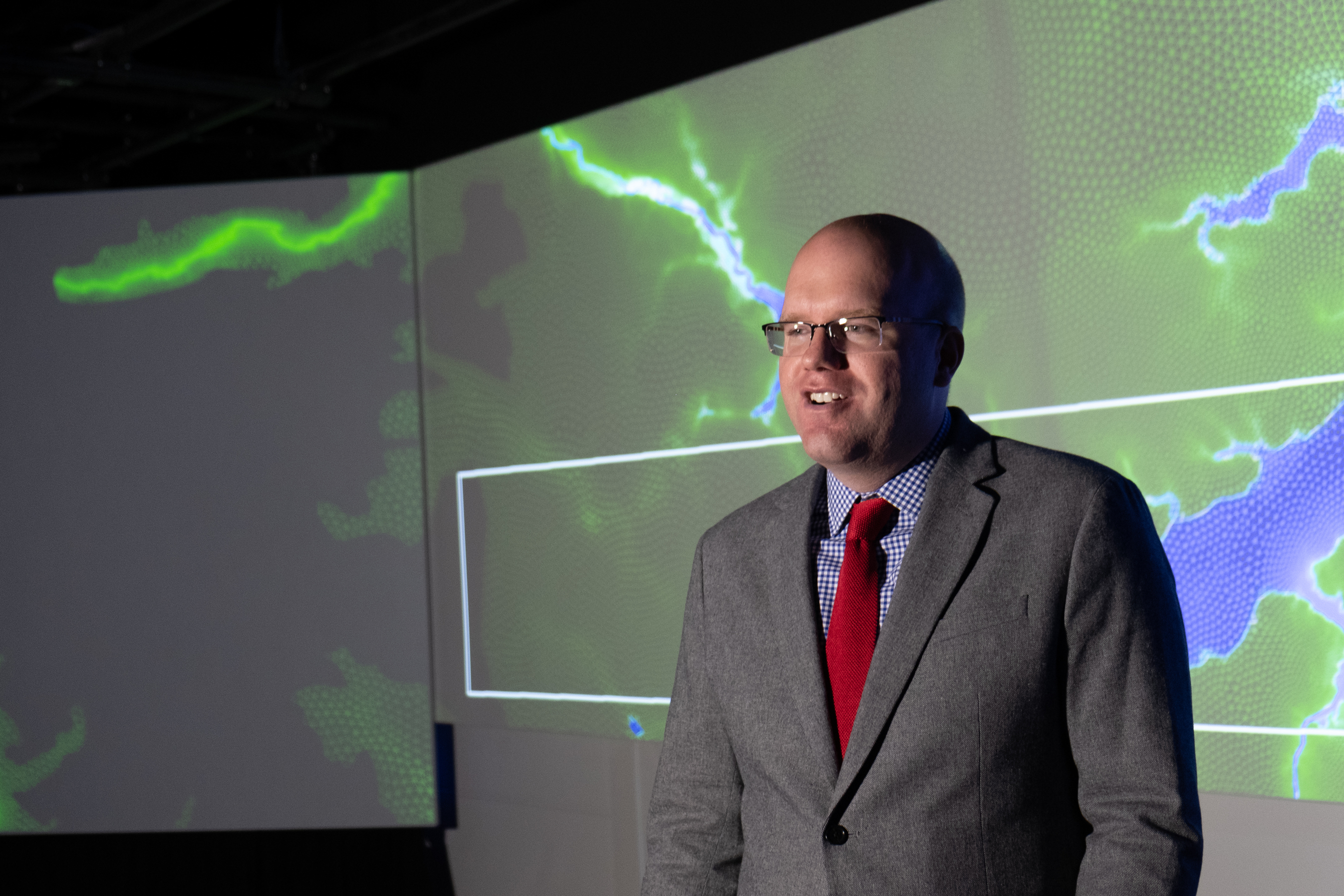
Casey Dietrich presenting at Coffee & Viz. Photo courtesy Julie Dixon.
This seminar was part of the NCSU Libraries’ Coffee & Viz event series, and it was held in the Teaching and Visualization Lab. This lab has 10 overhead projectors and can display graphics on three walls — the entire front and both full sides of the room. More photos are included below.
Seminar: Geospatial Forum
N Tull, JC Dietrich+, TE Langan, H Mitasova, CA Rucker, BO Blanton, JG Fleming, RA Luettich. “Downscaling and Extrapolation of Coastal Flooding Forecasts for Decision Support.” Geospatial Forum, Center for Geospatial Analytics, North Carolina State University, Raleigh, North Carolina, 18 October 2018.
News: Post-Florence Field Observations
CCEE Researchers respond rapidly to Hurricane Florence
Much of the North Carolina coast is lined with sandy beaches and dunes, which can erode during storms, allowing sand onto major roadways and floodwaters into communities. To develop predictions for this erosion and its effects on infrastructure, it was critical to collect observations shortly after the storm. A multi-disciplinary team led by Dr. Elizabeth Sciaudone traveled to Dare County to collect time-sensitive data at Kitty Hawk, Nags Head, Pea Island, and Hatteras Island. Working in conjunction with the Institute for Transportation Research and Education (ITRE), the Center for Geospatial Analytics in the College of Natural Resources, and industry partner SenseFly, researchers surveyed beach and dune changes. Real-Time Kinematic GPS equipment was used to survey select cross-shore beach and dune profiles and document the extent of dune erosion and overwash (inland sand deposits), such as when NC Highway 12 becomes covered after large storms.


