

Category Archives: NSF PREEVENTS 2017-2021
Seminar: Coffee & Viz
N Tull, JC Dietrich+, TE Langan, H Mitasova, CA Rucker, BO Blanton, JG Fleming, RA Luettich. “Enhancing Visualization of Storm Surge Guidance.” Coffee & Viz, NCSU Libraries, North Carolina State University, Raleigh, North Carolina, 19 October 2018.
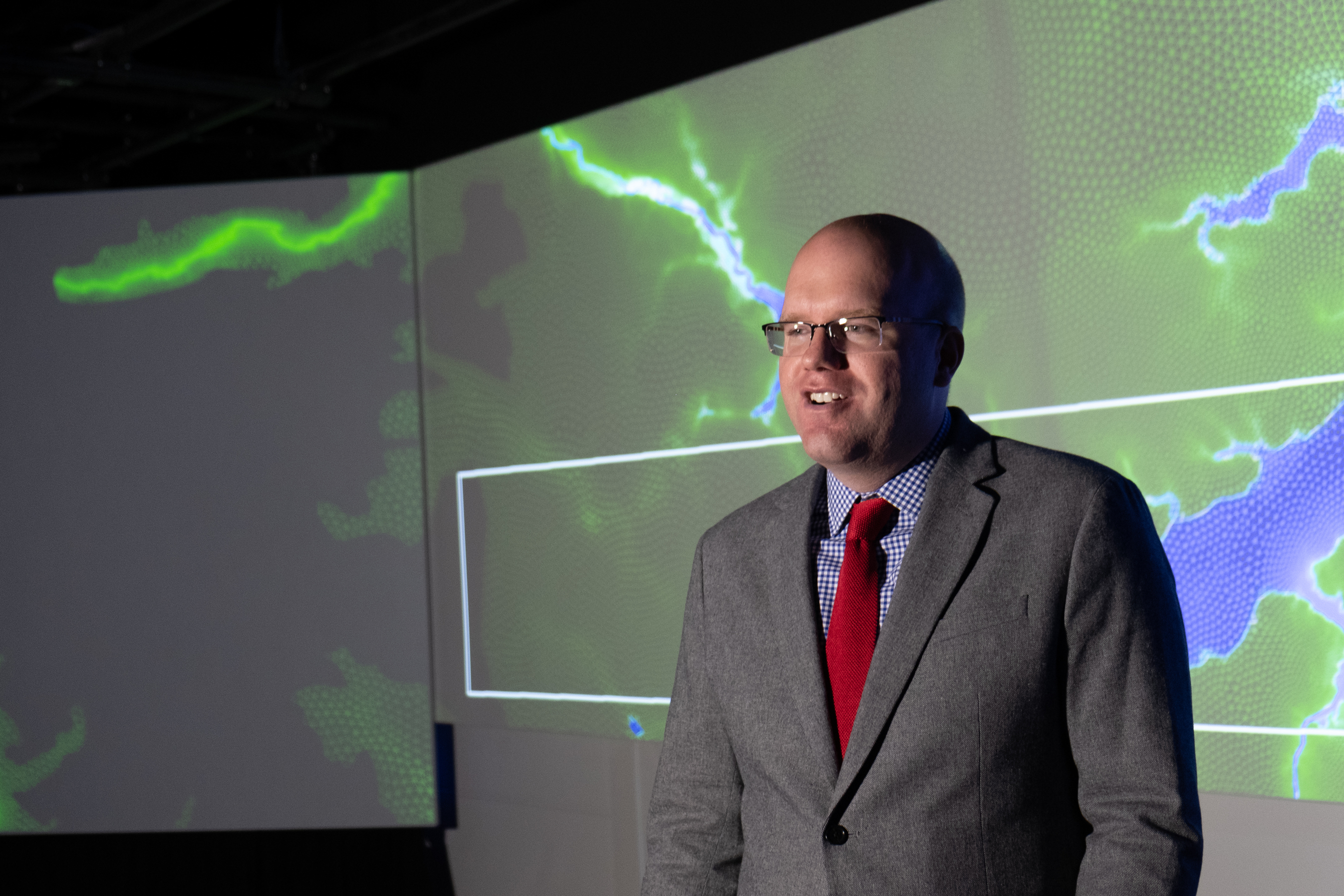
Casey Dietrich presenting at Coffee & Viz. Photo courtesy Julie Dixon.
This seminar was part of the NCSU Libraries’ Coffee & Viz event series, and it was held in the Teaching and Visualization Lab. This lab has 10 overhead projectors and can display graphics on three walls — the entire front and both full sides of the room. More photos are included below.
Seminar: Geospatial Forum
N Tull, JC Dietrich+, TE Langan, H Mitasova, CA Rucker, BO Blanton, JG Fleming, RA Luettich. “Downscaling and Extrapolation of Coastal Flooding Forecasts for Decision Support.” Geospatial Forum, Center for Geospatial Analytics, North Carolina State University, Raleigh, North Carolina, 18 October 2018.
Presentation: PREEVENTS PI Meeting
News: Storm Surge Modeling during Hurricane Florence
2018/09/13 – The State of Things on WUNC
Hurricane Florence Coverage from Around the State
Hurricane Florence Coverage from Around the State
![]()
Hurricane Florence, which is now a Category 2 storm, continues to bear down on the Carolina coast. The National Weather Service says it is likely to be “the storm of a lifetime” for certain portions of that coastline. Officials have ordered the evacuation of over 1 million people from the coasts of North and South Carolina. … Stasio is joined by Casey Dietrich, a professor in North Carolina State University’s Department of Civil, Construction and Environmental Engineering and leader of its Coastal and Computational Hydraulics Team. Dietrich explains the models currently being refined to help predict and plan for hurricanes and their effects on coastlines.
For this episode of The State of Things, the full-length podcast is embedded below. The interview with Casey Dietrich starts at about the 37-minute mark. It was great to describe our projects with DHS, NSF, and NC Sea Grant as part of this episode about Hurricane Florence.
Wave Gauge Deployment for Hurricane Florence
On September 11-12, or about 2-3 days before Hurricane Florence’s landfall in North Carolina, our PhD student Johnathan Woodruff joined Spencer Rogers (UNC-Wilmington, NC Sea Grant) to deploy wave gauges in Wrightsville and Topsail Beaches. The following video shows a time lapse of a deployment on a pile-supported structure in North Topsail Beach:
The goal, locations, and a few pictures of the wave gauge deployment are included below.
Presentation: NSF Workshop 2018
Improving Accuracy of Real-Time Storm Surge Inundation Predictions
Emergency managers rely on fast and accurate storm surge predictions from numerical models to make decisions and estimate damages during storm events. One of the challenges for such models is providing a high level of resolution along the coast without significantly increasing the computational time. Models with large domains, such as the ADvanced CIRCulation (ADCIRC) model used in this study, are accurate in predicting water levels and their variation in complex coastal regions, however their spatial resolution may limit their predictions of flooding at the scale of buildings, roadways, and critical infrastructure.
A new tool has been developed that uses Geographic Information System (GIS) scripts to enhance the resolution of maximum water level predictions at the boundary of predicted flooding using a high-resolution Digital Elevation Model (DEM). The water levels predicted by the lower resolution model are extrapolated outward to where the water would intersect with the higher resolution elevation dataset. The result is a highly-refined flooding boundary that represents inundation on scales smaller than the typical ADCIRC mesh resolution. This tool can process a 15-m DEM for all 32 coastal counties of the state of North Carolina in less than 15 minutes during a storm event.
Comparison of results using spatial building datasets showed that for a simulation of Hurricane Matthew, 2,353 buildings were predicted to be flooded in Carteret County, NC, prior to enhancing resolution and 3,298 post-enhancement, an increase of 40 percent. In Dare County, the increase was 22 percent. This dramatic increase in flooded buildings shows the importance of achieving high accuracy in floodplains, as a relatively small change in predicted flooding extent can have a substantial impact on the predicted number of flooded buildings. The validity of these results was tested via comparisons to results of an ADCIRC model with the same 15-m resolution as the DEM in Dare County. Dare County is a coastal region with widely-varying topography and land cover, and preliminary comparisons have shown that the GIS method is accurate in coastal regions with steeper slopes and less accurate in flatter, low-lying areas.