Tropical cyclones and other coastal storms have multiple effects on estuaries. They create storm surge, or the rise of water levels above the normal tides, which can cause flooding of coastal areas, including communities near estuaries. They can also alter ecosystems, including in estuaries with changes to nutrient loading and regeneration, abrupt changes in salinity, increases in the mixed-layer depth, decreases in sea-surface temperature, and breakdowns in water column stratification. The interactions between surge and estuarine circulation can enhance the storm effects. And with the increasing intensity of tropical cyclones, these effects will be further enhanced.
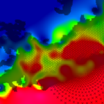 Numerical models can represent the coastal environment and its response to the combined effects of tides, river flows, and winds. It is especially challenging for numerical models to represent the response of estuaries to storms, due to the complex interactions of fresh and saline waters, and thus relatively few studies have used models to represent both storm- and density-driven circulation in estuaries. These few studies have shown that salinities and temperatures of estuaries can change significantly during storms and may require weeks to recover, depending on the amount of freshwater discharge. However, these studies have been limited in number and geographic coverage, relied on coupling to other models for baroclinic inputs, did not have the estuarine mixing and stratification as a focus, or were missing physics. Much is still uncertain about how estuarine circulation evolves during a storm event. How quickly do the horizontal salinities respond to the storm? How does the salinity transport vary through an estuary? How do freshwater discharges due to rainfall affect the mixing? Another uncertainty is the salinity response after the storm. How quickly does a system recover? Do the freshwater discharges interrupt the recovery? In this thesis, it is hypothesized that, for a large and shallow estuarine system with minimal connections to the open ocean, the storm forcing will cause large brackish and freshwater intrusions and recoveries that vary through the system.
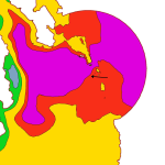 To investigate this hypothesis, we developed a three-dimensional model of storm- and density-driven circulation in the Albemarle-Pamlico Estuarine System (APES) in North Carolina. Irene (2011) was used as the basis for storm event simulations to examine the evolution of the horizontal salinity distribution. Included in this model were hurricane-strength winds and pressures, tides, river discharges, and density circulation. Using this model, it was determined that during Irene, APES experienced movements of brackish water into the estuaries and saline water into the sounds. These movements were heavily dependent on the winds. After the stormsimulation, the large river discharges produced intrusions of fresher water into major areas of the sound, and after two weeks, the system was not fully regulated.
From this research, we have developed a better understanding of the horizontal salinity distribution of APES as well as how the system reacts to a single storm event. This research allows for future studies to consider different types of storms along with refinement of the river forcings, to understand better the full range of estuarine responses.
BA Rumbaugh (2021). “Impact of storm events on density stratification in the Pamlico and Albemarle Estuarine System,” North Carolina State University.

 Our NSF project to implement subgrid corrections in ADCIRC was featured in the Spring 2022 newsletter for our department. This is great recognition for Johnathan’s PhD research.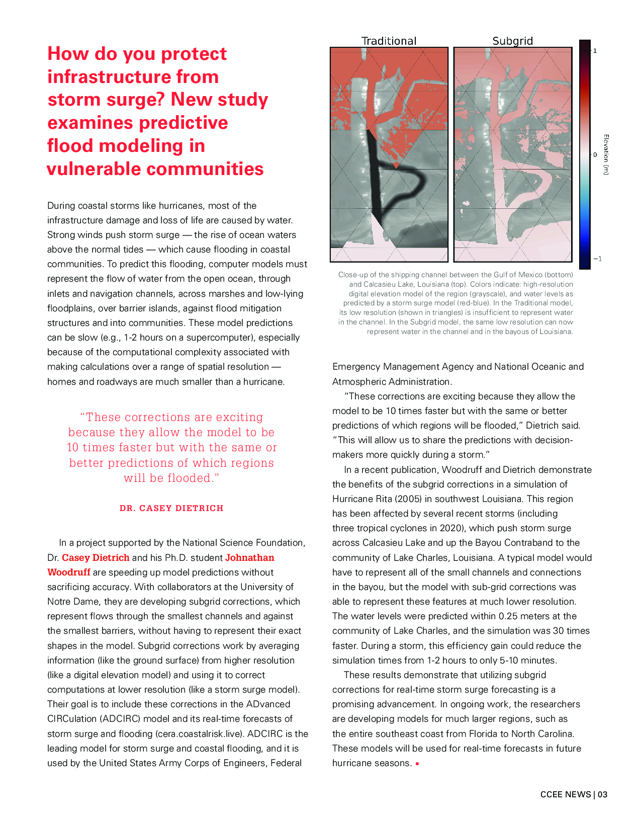
 Our recent paper, “
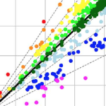 Predictions of storm surge and flooding require models with higher resolution of coastal regions, to describe fine-scale bathymetric and topographic variations, natural and artificial channels, flow features, and barriers. However, models for real-time forecasting often use a lower resolution to improve efficiency. There is a need to understand how resolution of inland regions can translate to predictive accuracy, but previous studies have not considered differences between models that both represent conveyance into floodplains and are intended to be used in real time. In this study, the effects of model resolution and coverage are explored using comparisons between forecast-ready and production-grade models that both represent floodplains along the US southeast coast, but with typical resolutions in coastal regions of 400 and 50 m, respectively. For two storms that impacted the US southeast coast, it is shown that, although the overall error statistics are similar between simulations on the two meshes, the production-grade model allowed a greater conveyance into inland regions, which improved the tide and surge signals in small channels and increased the inundation volumes between 40% and 60%. Its extended coverage also removed water level errors of 20–40 cm associated with boundary effects in smaller regional models.
 Our research into real-time erosion predictions using XBeach was featured in a recent video by Lenovo and CNN. Jessica Gorski describes how we are exploring the use of 1D transect models to predict erosion during storms.
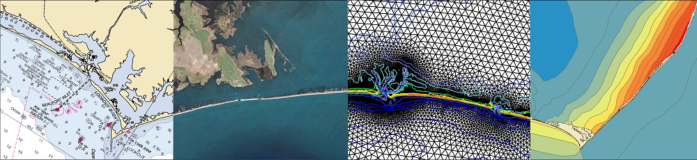
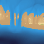 Barrier islands are a primary coastal defense and often experience erosion during storms. When they fail due to storm-induced breaching, there can be significant changes to the small- and large-scale hydrodynamics and morphodynamics of the region. In this study, we explore the formation of a breach on Hatteras Island, North Carolina, during Isabel (2003) and the subsequent flooding into Pamlico Sound. Two-way coupling of high-fidelity, high-resolution numerical models for coastal erosion and flooding enables a better understanding of the formation of the breach, as well as scenarios of the breach’s effects on the circulation in the region. The breach connecting the ocean to the sound formed during the day of landfall. It is shown that, during the storm, overwash and inundation from the ocean led to deterioration of the beach and dunes, and then after the storm, the creation of channels through the island was sensitive to elevated water levels in the lagoon. Then flooding scenarios are considered in which the ground surface of the hydrodynamic model was (a) static, updated with the (b) pre- and post-storm observations, and updated dynamically with (c) erosion model predictions and (d) erosion model predictions with elevated lagoon-side water levels. The model results show that the breach has region-scale effects on flooding that extend 10 to 13 km into the lagoon, increasing the local water levels by as much as 1.5 m. These results have implications for similar island-lagoon systems threatened by storms.