
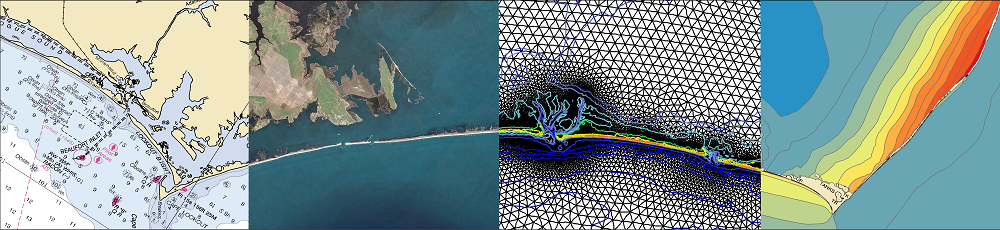
 In this study, we apply the state-of-art model eXtreme Beach (XBeach) to predict coastal erosion due to Hurricanes Michael (2018) and Ian (2022). Sandy beaches along the U.S. Atlantic and Gulf coasts are represented with thousands of one-dimensional transects, which are sampled for real-time forecasts based on the storms’ tracks and projected landfall locations. The morphodynamic model is initialized with high-resolution digital elevation models of the present-day conditions and forced with hydrodynamics from high-resolution wave and circulation models, and its predictions are categorized based on impacts to the primary dune. A key contribution of this study is the semi-automation of the modeling system, so the modeling framework can be applied to different regions of the coast as the landfall location shifts.
 To demonstrate this, forecasts for Ian (2022) were initiated several days before the initial landfall location in Punta Gorda, Florida, and continued as the track made a secondary landfall near Georgetown, South Carolina. About 1800 transects are selected for each of the 25 advisories. The simulations are monitored, evaluated, and visualized to communicate the XBeach predictions of coastal change. The framework produces results in less than an hour and then publishes visualizations in less than 10 minutes. Results are compared spatially and temporally to qualitative post-Ian observations and total water level predictions. XBeach can predict dune impact compared to an established coastal change forecasting model while providing additional morphodynamic information not typically available, such as timing and magnitude of volume change. The addition of fully resolved ground surface information and morphodynamics in the model makes it possible to better understand the storm evolution and how that translates into erosion of beaches and dunes.
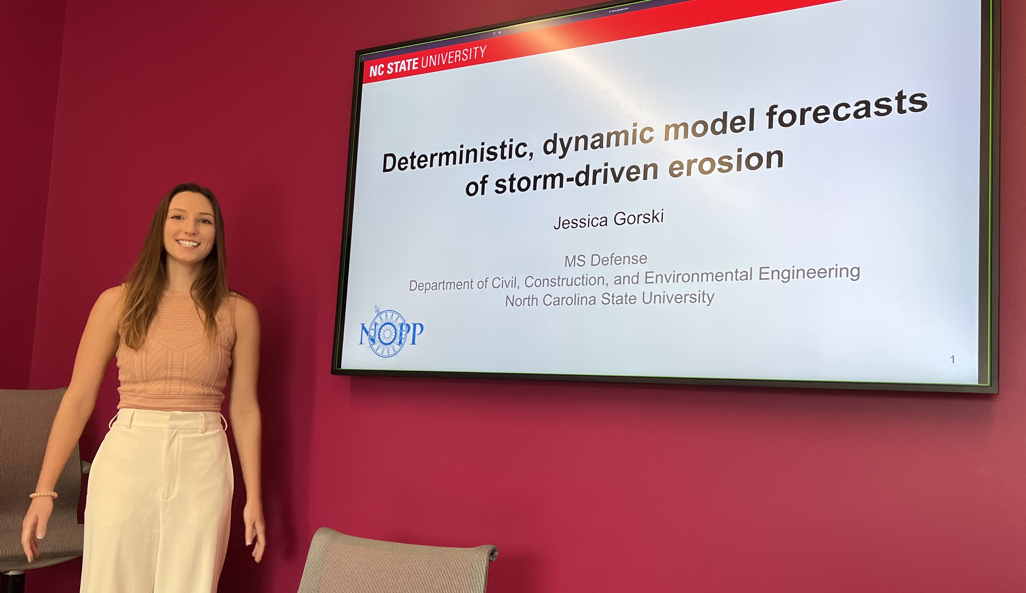
 Dunes and beaches are vulnerable to erosion during storm events. Numerical models can predict beach response to storms with fidelity, but their computational costs, the domain-specific knowledge necessary to use them, and the wide range of potential future storm and beach conditions can hinder their use in forecasting storm erosion for short- and long-term horizons. We develop an emulator, which is an efficient predictive model that behaves like a numerical model, to predict the morphologic response of the subaerial beach to storms. Specific emphasis is placed on providing antecedent beach states as an input to the emulator and predicting the post-storm profile shape. Training data include beach profiles at multiple stages in a nourishment life cycle to assess if such a framework can be applied in locations that nourish as a coastal defense policy. Development and application of the emulator is focused on Nags Head, North Carolina, which nourishes its beaches to mitigate hazards of storm waves, flooding, and erosion. A high-fidelity, process-based morphodynamic model is used to train the emulator with 1250 scenarios of sea-storms and beach profiles. The post-storm beach state is emulated with a parameterized power-law function fit to the eroded portion of the subaerial profile. When the emulator was tested for a sequence of real storms from 2019, the eroded beach profiles were predicted with a skill score of 0.66. This emulator is promising for future efforts to predict storm-induced beach erosion in hazard warnings or adaptation studies.