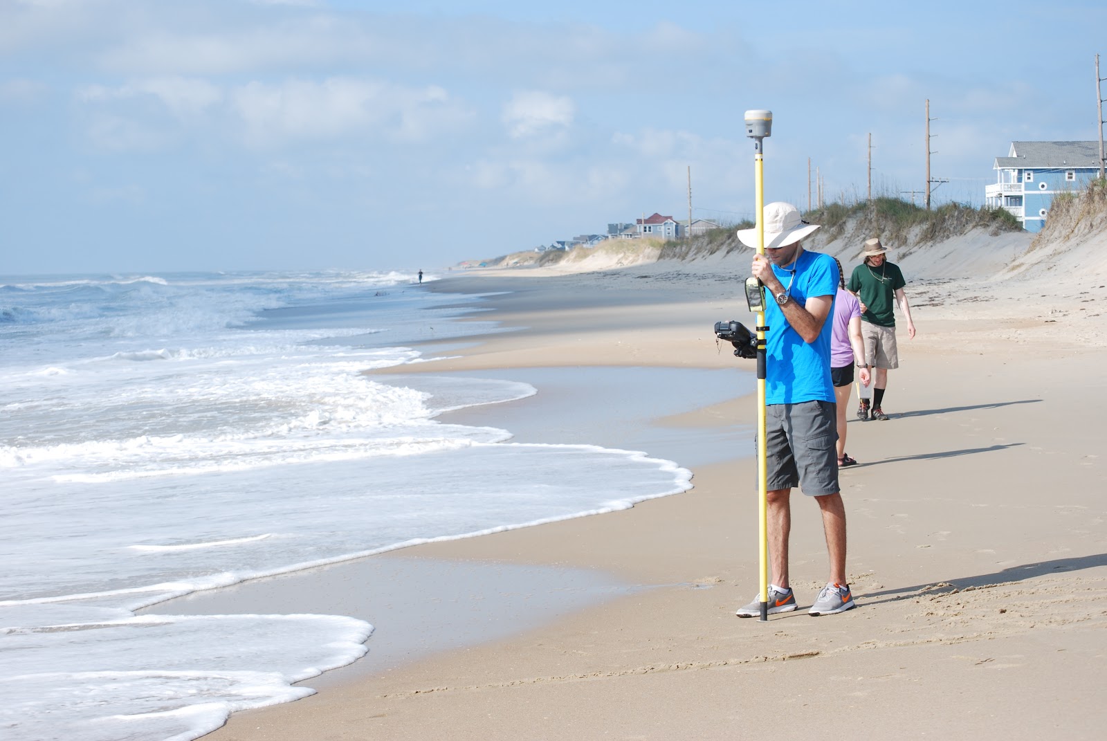
CCHT member Carter Rucker joined a field pilot study with other members of the NCSU Coastal Engineering Team. The collaborative During Nearshore Event Experiment (DUNEX) pilot study is now underway along the Outer Banks of North Carolina, home to the U.S. Army Engineer Research and Development Center’s Coastal and Hydraulics Laboratory’s Field Research Facility.
DUNEX is a multi-agency, academic and non-governmental organization collaborative community experiment to study nearshore coastal processes during coastal storms. The multi-phase experiment plan begins with the pilot study, followed by the full experiment starting in fall 2020 and extending into winter 2021. Learn more here.
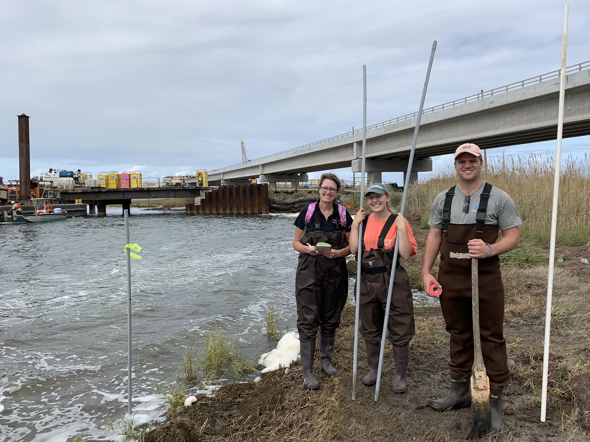
Carter Rucker (right) setting markers in the Pea Island marsh preparing for ADCP surveys later in the week. Photo courtesy Beth Sciaudone.