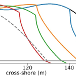
Dunes and beaches are vulnerable to erosion during storm events. Numerical models can predict beach response to storms with fidelity, but their computational costs, the domain-specific knowledge necessary to use them, and the wide range of potential future storm and beach conditions can hinder their use in forecasting storm erosion for short- and long-term horizons. We develop an emulator, which is an efficient predictive model that behaves like a numerical model, to predict the morphologic response of the subaerial beach to storms. Specific emphasis is placed on providing antecedent beach states as an input to the emulator and predicting the post-storm profile shape. Training data include beach profiles at multiple stages in a nourishment life cycle to assess if such a framework can be applied in locations that nourish as a coastal defense policy. Development and application of the emulator is focused on Nags Head, North Carolina, which nourishes its beaches to mitigate hazards of storm waves, flooding, and erosion. A high-fidelity, process-based morphodynamic model is used to train the emulator with 1250 scenarios of sea-storms and beach profiles. The post-storm beach state is emulated with a parameterized power-law function fit to the eroded portion of the subaerial profile. When the emulator was tested for a sequence of real storms from 2019, the eroded beach profiles were predicted with a skill score of 0.66. This emulator is promising for future efforts to predict storm-induced beach erosion in hazard warnings or adaptation studies.
A Gharagozlou, DL Anderson, JF Gorski, JC Dietrich (2022). “Emulator for Eroded Beach and Dune Profiles due to Storms.” Journal of Geophysical Research: Earth Surface, 127(8), e2022JF006620, DOI: 10.1029/2022JF006620.


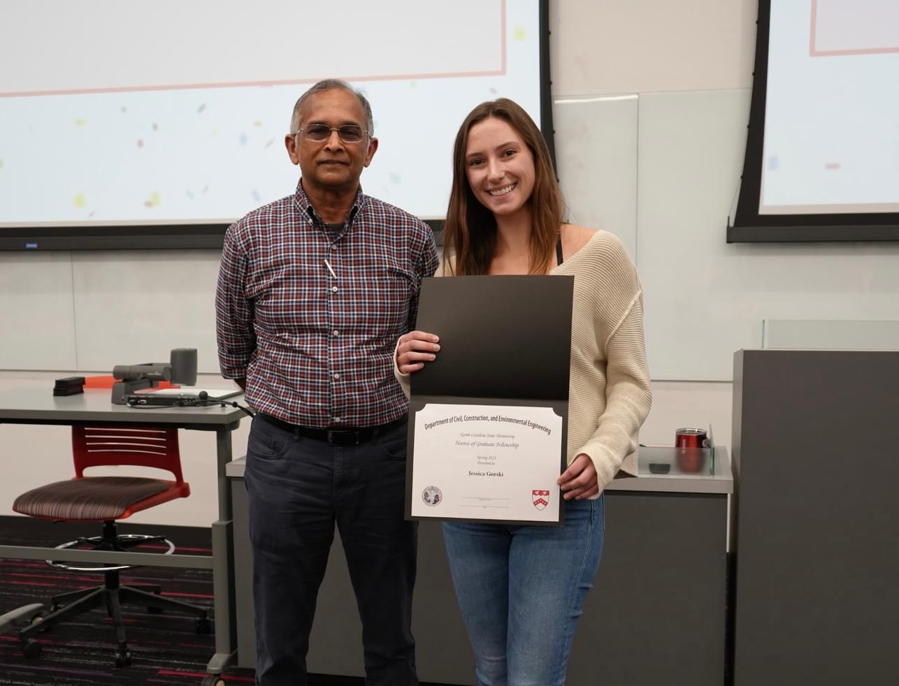
 M.S. student Tomás Cuevas López was awarded a fellowship from the Chilean National Research and Development Agency. The Beca de Magister en el Extranjero supports Chilean students pursuing master’s degrees abroad. Awarded students are requested to eventually return to Chile to apply the new knowledge to contribute to the scientific, academic, economic, social, and cultural development of the country. Out of the 605 students that applied for the fellowship, 128 were selected. Tomás is one of only two Chilean students studying in the U.S. to receive the fellowship during this cycle.
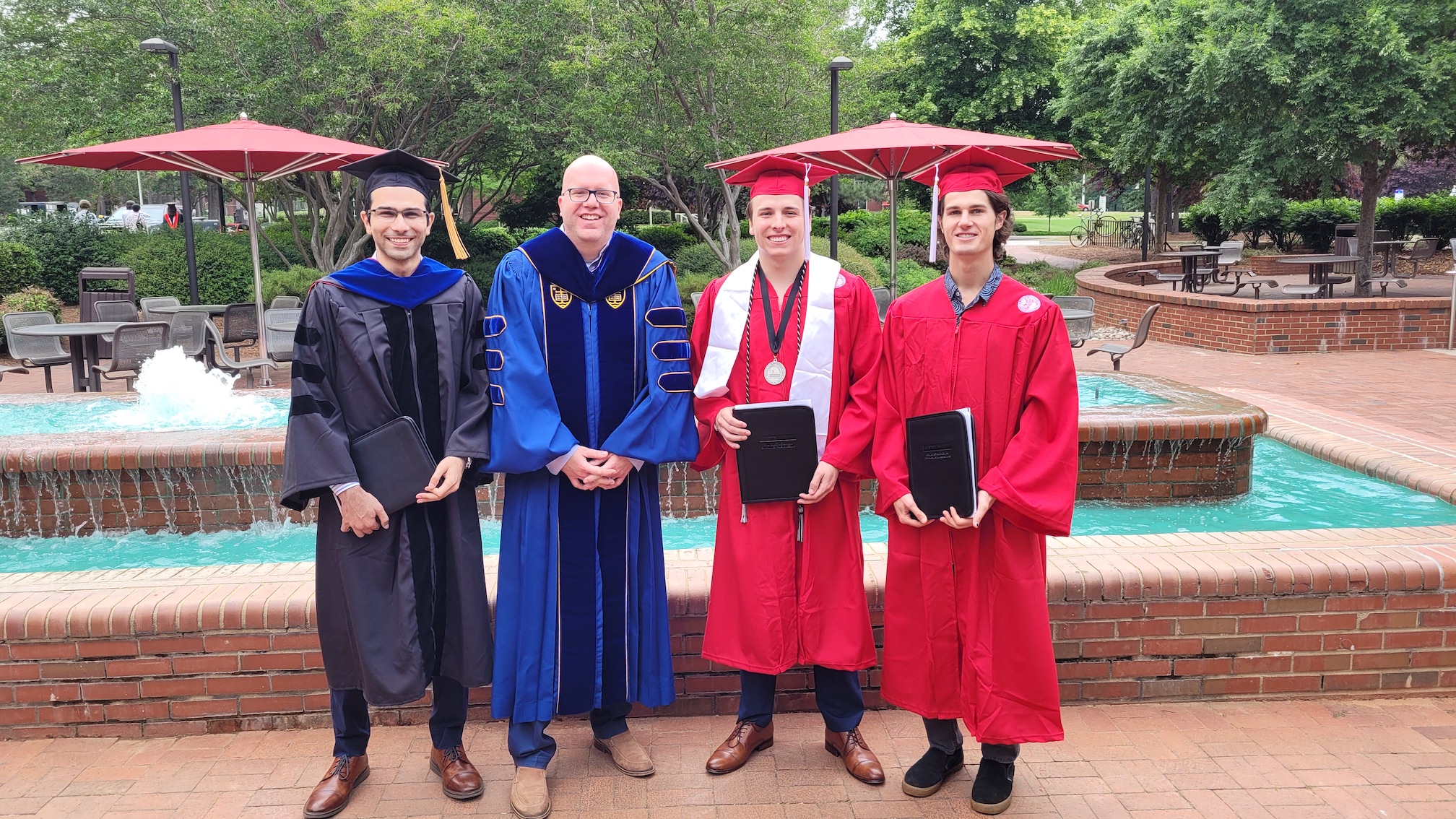
 Ph.D. student Jenero Knowles was awarded the Witherspoon Graduate Fellowship from NC State’s Graduate School. The competitive one-year award is given to rising second-year graduate students who support Black communities at NC State and beyond, and selections were made by representatives from the Black Alumni Society and Graduate School. The award is named in honor of Dr. Augustus M. Witherspoon, who was the second Black graduate student to receive a doctorate from NC State and the first Black professor at the university.