NC State faculty and students are helping to keep coastal communities healthy through the North Carolina Center for Coastal Algae, People and Environment

NC C-CAPE (and our fearless leader Astrid Schnetzer) were featured on the NC State homepage.
NC C-CAPE was featured on the NC State homepage. Lots of information and quotes from folks in the center, including great photos of our colleagues in the field and laboratory. It is fun to contribute to such a large, meaningful research effort.

“In the past few months, we’ve officially started to sample as NC C-CAPE,” [Barrett] Rose said. “It was a shock to see the magnitude of how much we were actually studying. It went from a small pilot study to a huge center effort.”
Data collection and analysis is only the first part of the work NC C-CAPE seeks to do. While harmful algal blooms are common in fresh waters across the U.S. and the world, major data gaps around the issue exist. [Astrid] Schnetzer’s data will inform NC C-CAPE’s other two projects, which focus on predicting the health risks of toxic algal blooms on mammals and humans, as well as considering how factors like climate change will affect future toxin levels in water and seafood.
“The most exciting aspect of NC C-CAPE for me is that the research doesn’t end where my expertise ends,” said Schnetzer. “What we learn from the field about algal toxins is handed to the next team to look at the bigger picture on the ecosystem level and in connection to human health.”
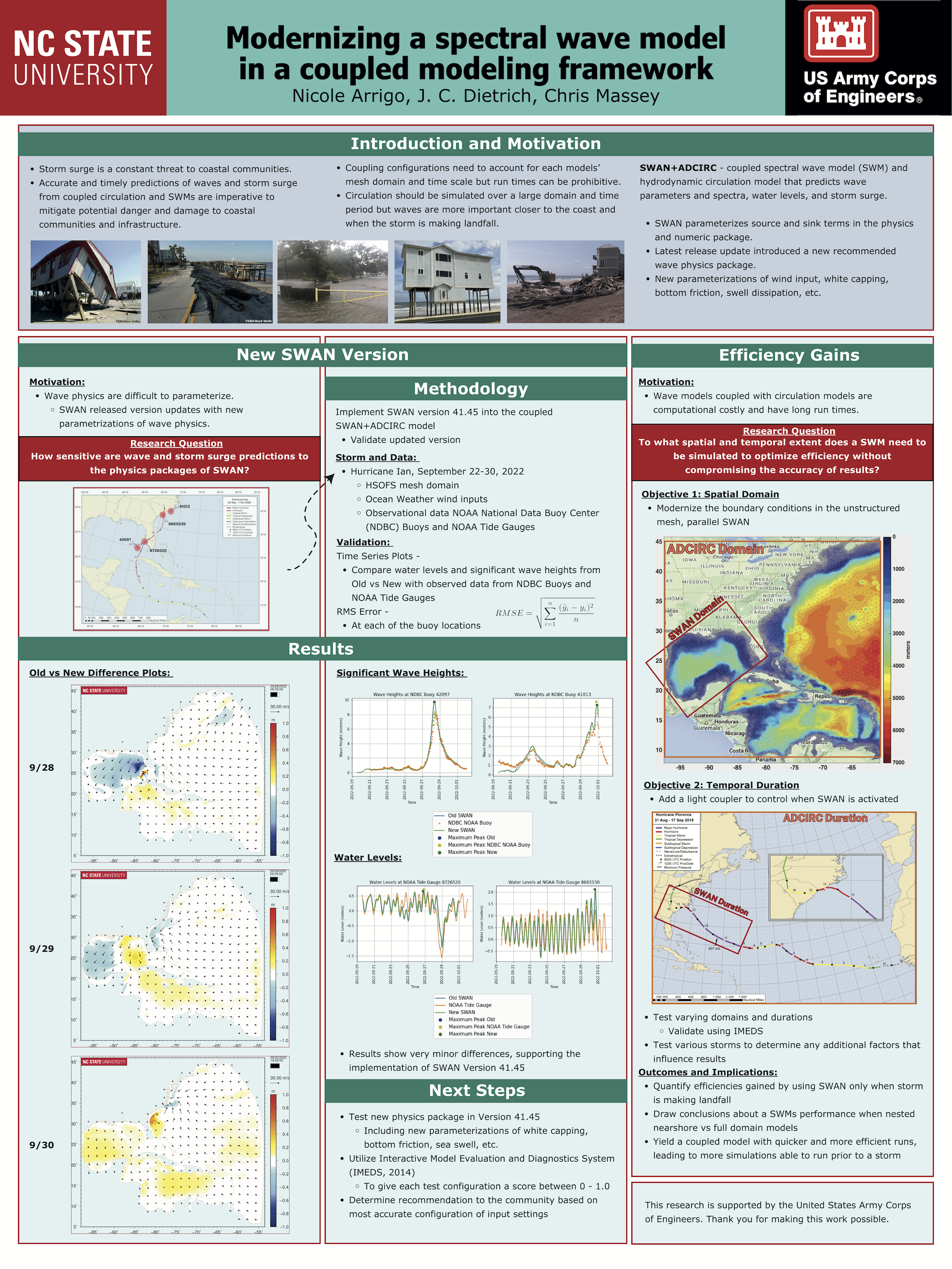
 With sea-level rise, flooding in coastal communities is now common during the highest high tides. Floods also occur at normal tidal levels when rainfall overcomes stormwater infrastructure that is partially submerged by tides. Data describing this type of compound flooding is scarce and, therefore, it is unclear how often these floods occur and the extent to which non-tidal factors contribute to flooding. We combine measurements of flooding on roads and within storm drains with a numerical model to examine processes that contribute to flooding in Carolina Beach, NC, USA — a community that chronically floods outside of extreme storms despite flood mitigation infrastructure to combat tidal flooding. Of the 43 non-storm floods we measured during a year-long study period, one-third were unexpected based on the tidal threshold used by the community for flood monitoring. We introduce a novel model coupling between an ocean-scale hydrodynamic model (ADCIRC) and a community-scale surface water and pipe flow model (3Di) to quantify contributions from multiple flood drivers. Accounting for the compounding effects of tides, wind, and rain increases flood water levels by up to 0.4 m compared to simulations that include only tides. Setup from sustained (non-storm) regional winds causes deeper, longer, more extensive flooding during the highest high tides and can cause floods on days when flooding would not have occurred due to tides alone. Rainfall also contributes to unexpected floods; because tides submerge stormwater outfalls on a daily basis, even minor rainstorms lead to flooding as runoff has nowhere to drain. As a particularly low-lying coastal community, Carolina Beach provides a glimpse into future challenges that coastal communities worldwide will face in predicting, preparing for, and adapting to increasingly frequent flooding from compounding tidal and non-tidal drivers atop sea-level rise.
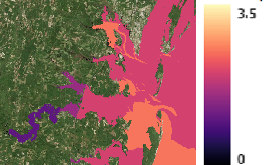
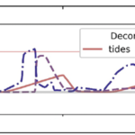
 Compound flooding, the concurrence of multiple flooding mechanisms such as storm surge, heavy rainfall, and riverine flooding, poses a significant threat to coastal communities. To mitigate the impacts of compound flooding, forecasts must represent the variability of flooding drivers over a wide range of spatial scales while remaining timely. One approach to develop these forecasts is through subgrid corrections, which utilize information at smaller scales to “correct” water levels and current velocities averaged over the model scale. Recent studies have shown that subgrid models can improve both accuracy and efficiency; however, existing models are not able to account for the dynamic interactions of hydrologic and hydrodynamic drivers and their contributions to flooding along the smallest flow pathways when using a coarse resolution. Here, we have developed a solver called CoaSToRM (Coastal Subgrid Topography Research Model) with subgrid corrections to compute compound flooding in coastal systems resulting from fluvial, pluvial, tidal, and wind-driven processes. A key contribution is the model’s ability to enforce all flood drivers and use the subgrid corrections to improve the accuracy of the coarse-resolution simulation. The model is validated for Hurricane Eta 2020 in Tampa Bay, showing improved prediction accuracy with subgrid corrections at 42 locations. Subgrid models with coarse resolutions (R2 = 0.70, 0.73, 0.77 for 3-, 1.5-, 0.75-km grids) outperform standard counterparts (R2 = 0.03, 0.14, 0.26). A 3-km subgrid simulation runs roughly 50 times faster than a 0.75-km subgrid simulation, with similar accuracy.