NC State project aims to create faster storm surge forecasting
![]()
Planning for a hurricane is a complicated process involving many stakeholders and varying degrees of uncertainty. Accurate predictions of storm surge and wave heights are vital to decision-making before, during and after the storm. Creating these predictions through modeling software can be expensive and time-consuming. When dealing with hurricanes, time is critical for emergency managers and other officials.
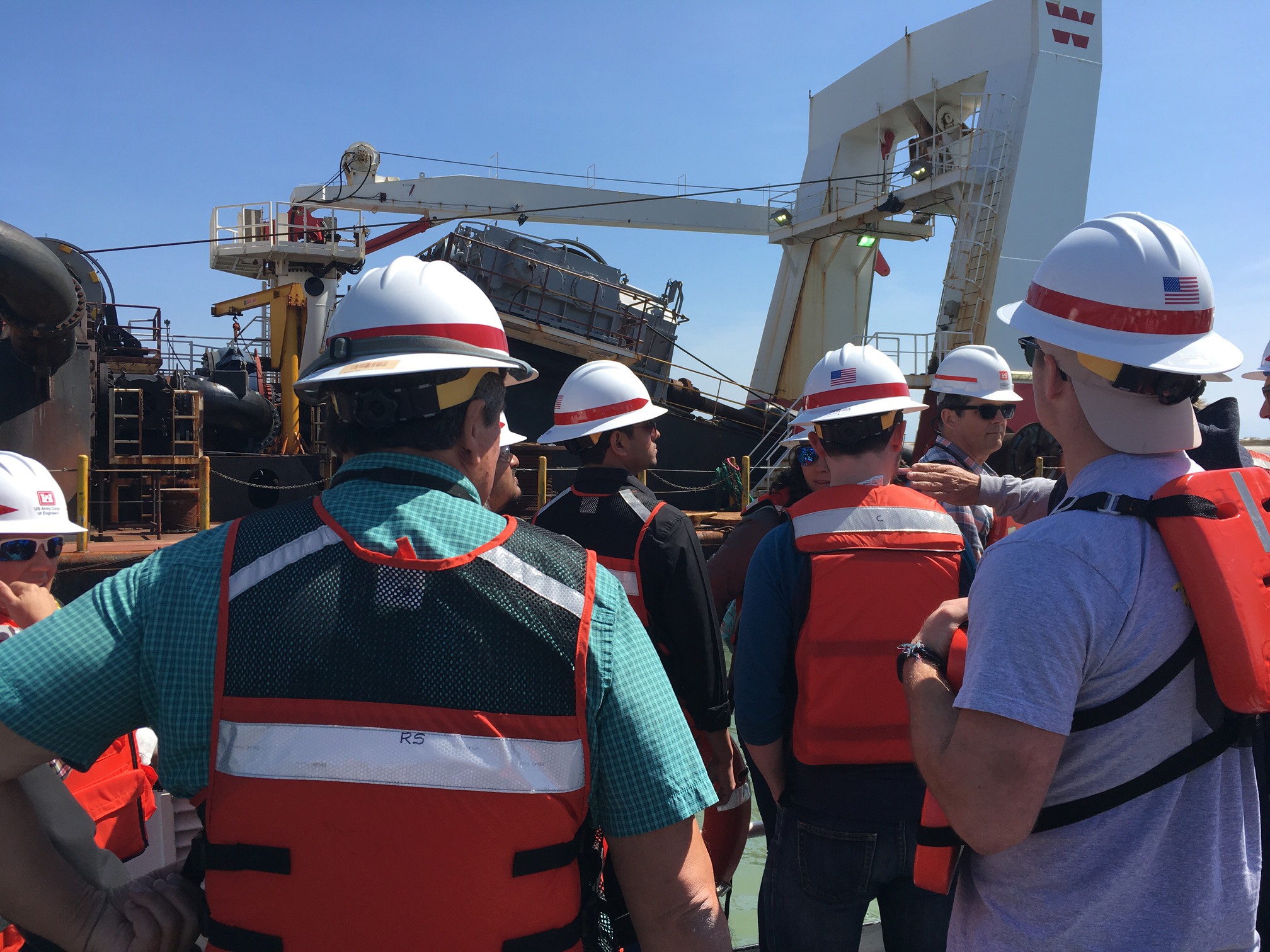
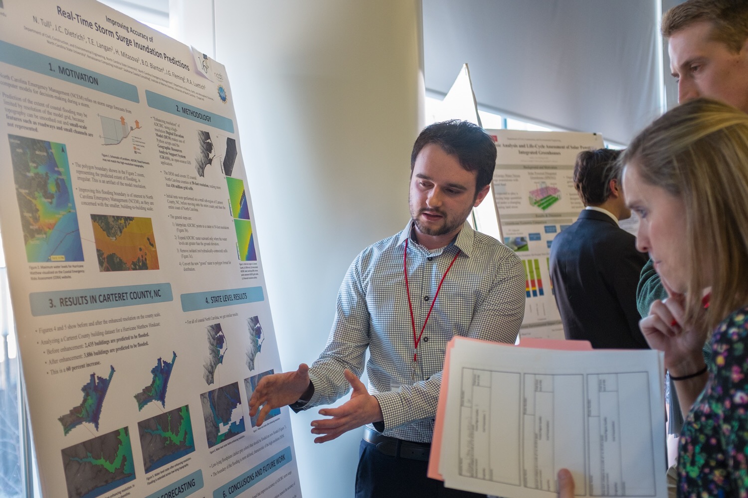
Helping decision-makers to save valuable prediction time is CRC Principal Investigator Dr. Casey Dietrich of North Carolina State University (NCSU). His project, “Improving the Efficiency of Wave and Surge Models via Adaptive Mesh Resolution,” involves collaboration with co-PI Dr. Clint Dawson at the University of Texas at Austin. Their project focuses on speeding up a widely used prediction tool, ADCIRC. His work with North Carolina Emergency Management during Hurricane Matthew in 2016, and his contributions to developing future disaster resilience specialists, have helped make significant contributions to disaster preparation and recovery.